
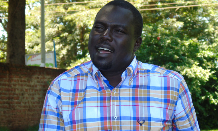
Mr Richard Todwong, the Deputy Secretary General for the National Resistance Movement (NRM) party has said the demarcation of Amuru-Adjumani border will improve service delivery especially for the communities living at Apaa, the disputed boundaries.
Speaking in Gulu town on Tuesday evening, Todwong explained that under the Decentralization program, the local government is tasked with providing social services such as health and education to its community.
Todwong says, “Under some circumstances where there is a dispute, it is appropriate that the boundaries be known so that the responsible authorities take the responsibility of providing services.”
According to the former Minister-in- charge of Political Mobilization, if the boundaries are not known, it may lead to waste of government resources since both the locals who claim the area in question will ask the central government for funding.
“For effective service delivery, opening the boundaries will resolve such problems as it will become clear on who should offer the service,” He said.
He noted that if the households living at the boundaries do not know where they belong, they may not have the power to task those responsible.
The Nwoya County legislator also faulted leaders on the intention of government opening the 40 square kilometer stretch of land under contention.
Todwong adds that a similar problem were experienced in Pader at Laminocwida and Kotomor, in Nwoya district between the Jonam who majorly live west of River Nile at the area of Yagopino in Nwoya district.
Over 18,000 households living in Apaa, Pabbo Sub County in Amuru district experienced a week of chaos last week after government deployed heavily armed police officers alongside the military as it planted markstones along the disputed boundaries between Amuru and Adjumani.
6 Comments
stupid reasoning. WHAT DO U EXPECT FROM SOMEONE LIKE TODWONG. HE HAS TO DEFEND THE HAND THAT FEEDS HIM.
I agree with you 100%. No helpful reason. seems to stand with his job rather than Acholi. This kind of people views should be objected till he is out of that job.
Acholi owaco ni ka lajok okutu teri, ci in bene idoko lajok. Ki ngat ma ongiyo, dok olony ki remu pa luwote dong pe ngut.
What a pathetic reasoning. Mr”TOO” dwong dok yomo Iya! Don’t you think that Acholi elders and adjumani elders don’t know the land boundary between them? Why didnt you, disrespectful people, consult the Elders before taking their lives like animals?
This is a boundary between two tribes and districts do not compare its issue with that of Pader and Nwoya, it’s not the same. You have a hidded agenda on the Apaa land and I hope the agenda with the M F SA white thrash bites you in the A. I can’t understand some Acholi Z. Instead of helping each others like lurok do among themselves, inongo en dok aye oguru ngute i te long pa lurok ka nangone for their selfishness wealth gain. Pathetic
Wujone dano ka laming ba gammo lokke tek. Man kit kwan ango ma Todwong okwano ni? Abang bang man dong wacce ko.
Mr Toodwong, where is the District Boundary between Nwoya and Kiryadongdo?Why is the Sign Post over the Karuma Bridge Removed(The Former West Acholi District)but replaced by Kiyadongdo District?
Tourists are misguided that Karuma Bridge is not in Nwoya as you negotiate that Sharp corner.There is NO barrier in case of accidents.
The WELCOME to NWOYA message is over the Karuma Bridge.Who owns Karuma Bridge?
This is another HIDDEN agenda that the Acholi Community should investigate the Land Grabber Deputy Secretary General.
To the best of my knowledge, the dispute here is not whether the border between Adjumani and Amuru Districts is not known such that it needs to be demarcated. The border is known. Rather, it is that history informs us that the land was originally taken by the colonial government without the consent of the people of Apaa and turned it into a game reserve and hunting ground. Later on President Idi Amin degazetted it by a military decree and turned it into a human settlement. However, he gave the Apaa land to his cronies and some of his tribesmen without the consent of the real owners.
After the regime fell, the people who illegally grabbed the land fled. Now the government is trying to confirm President Amin’s decree by designating the area as part of Adjumani regardless of the fact that Adjumani acquired this land via a decree without the consent of the Apaa land owners. Unfortunately, the people of Adjumani are willing to give up that land to the Uganda Wild Life Association since it is not theirs in the first place.
The government in turn is trying to justify grabbing the Apaa land on the bogus ground that it was given to it by Adjumani District. Therefore, the government’s insistence to demarcate the border between the two Districts has nothing to do with service delivery as Todwong is trying to confuse and mislead the people. Instead, it has everything to do with acquisition of the land without the consent of the real owners. Otherwise, if it is a matter of border demarcation, the government would place the markers along the known border before the colonialists created the game reserve without the consent of the people and before President Amin used its military decree to give the land to people of Adjumani and his cronies.
If the truth be told, the government should respect the will of the people regardless of whether they consent or not to give the land to the government for whatever purpose it needs the land. Deception, coercion, intimidation and force are definitely not the way to secure land from the people.